

National Weather Service

Let’s talk ‘bomb cyclone’ while we’re at it.
What will be the hallmark of the impending Christmas blizzard of 2022? Probably not a lot of snow, but that’s not what blizzards are about anyway.
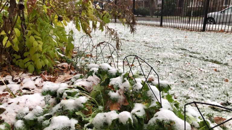
A winter weather advisory went into effect Tuesday morning for much of the Chicago region, a far cry from last week's balmy 70-degree temperatures.

The forecast calls for highs in the mid-70s on Thursday, which could approach the date's record high of 75 degrees set in 2020.
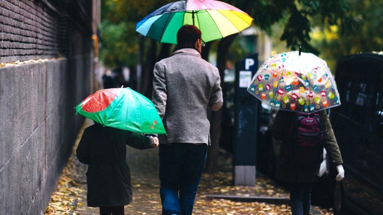
A strong system is moving into the area late Friday, bringing with it waves of showers on Saturday morning and wind gusts that could top 50 miles per hour, according to the National Weather Service.
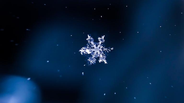
It wasn't exactly a winter wonderland, but the first snowflakes of the season were recorded Monday morning at O'Hare, according to the National Weather Service.
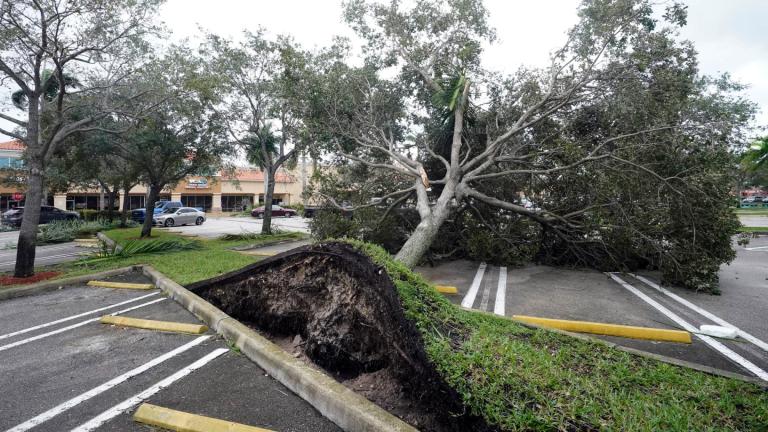
About 2.5 million people were ordered to evacuate southwest Florida before the storm hit the coast with maximum sustained winds of 150 mph. It was heading inland, where it was expected to weaken, at about 9 mph, but residents in central Florida could still experience hurricane-force winds.
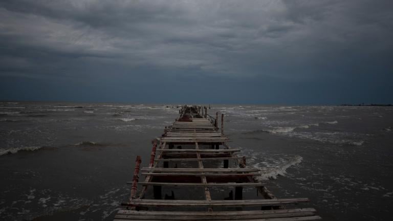
Ian was forecast to hit the western tip of Cuba as a major hurricane and then become an even stronger Category 4 with top winds of 140 mph over warm Gulf of Mexico waters before striking Florida. As of Monday, Tampa and St. Petersburg appeared to be among the most likely targets for their first direct hit by a major hurricane since 1921.
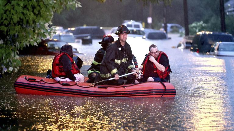
Damage across the St. Louis region was widespread after a massive downpour dropped more than 11 inches of rain in parts of St. Charles County and up to 10 inches elsewhere in the St. Louis metropolitan area.
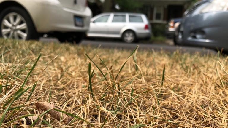
The recent heat wave, coupled with lower than normal precipitation, has produced conditions ripe for what’s known as a “flash drought” in the Chicago area.

The National Weather Service maintained an excessive heat warning through Wednesday evening for most of Illinois, Indiana and Ohio, which have been dealing with the sticky humidity and soaring temperatures since Tuesday.
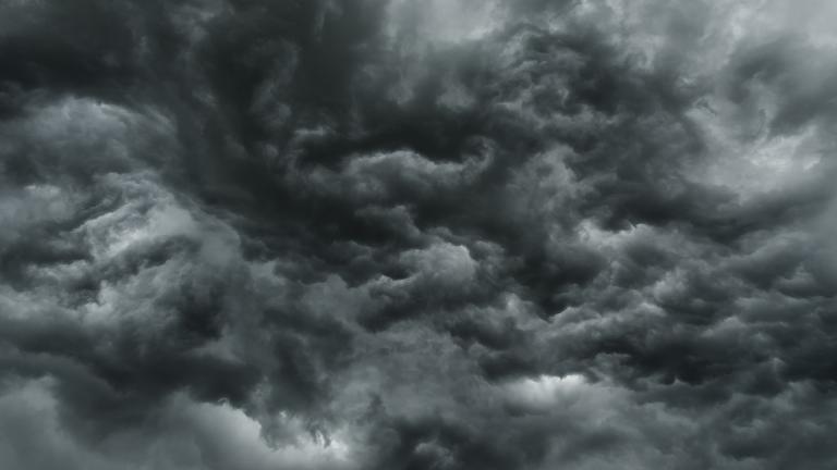
A supercell system walloped much of northeast Illinois and northwest Indiana on Monday night.
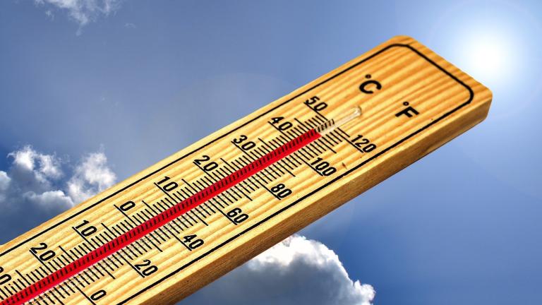

Chicago isn’t likely to break the 35-year-old record high of 99 degrees set for June 14 back in 1987, even though the heat index is expected to top 105 degrees. Which begs the question: What is the heat index?
Mild temperatures will give way to blistering heat this week, with the National Weather Service warning of temperatures in the mid-90s and peak heat indices of 110 degrees on Tuesday and Wednesday.
The combination of high temperatures and humidity sent heat indices soaring above 100 degrees Wednesday. Thursday will see more of the same.
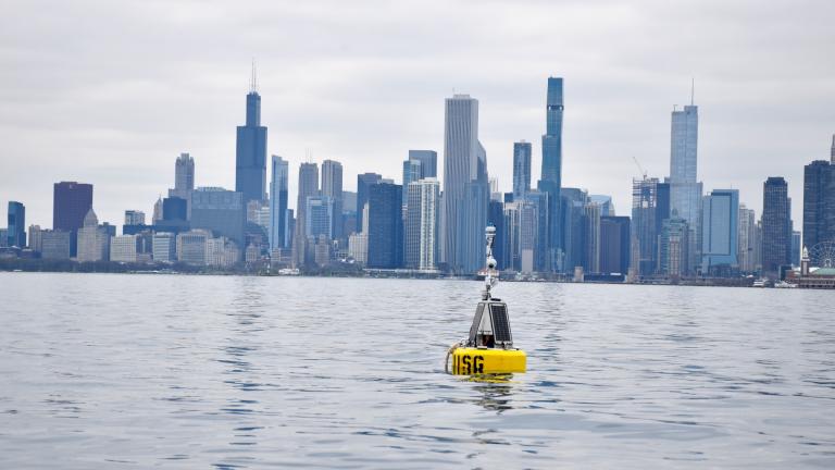
Anchored a mile off Navy Pier, Chuoy the Buoy fills a Chicago-sized gap in shoreline monitoring. Swimmers, boaters, anglers, researchers and meteorologists alike will benefit from data collected close to the city’s lakefront.
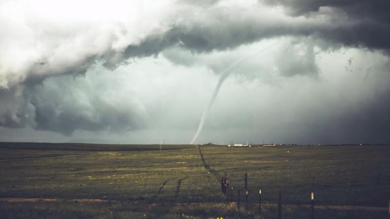
April was the rollercoaster ride, weather-wise, Chicagoans have come to expect from spring's most capricious month.
Trending
2026 Chicago Festival Guide

Interim NITA Director Earning $350K Salary While Also Collecting $213K Annual City Pension, Records Show

Early Voting for November General Election Kicks Off in Downtown Chicago

Uptown Theatre Added to Open House Chicago, Catch a Rare Glimpse Inside Gilded Jewel

Chicago Woman Accused of Social Security Fraud After Hiding Mother’s Body in Freezer for 2 Years

Sign up for the WTTW News newsletter