

National Weather Service
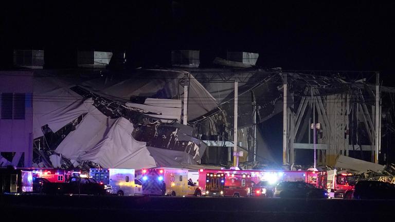
The Occupational Safety and Health Administration on Tuesday sent a “Hazard Alert Letter” to the Seattle-based e-commerce giant on Tuesday following the agency’s investigation into the deadly collapse of a company warehouse in Edwardsville, Illinois in December. Six people died and another was critically injured in the tornado strike.
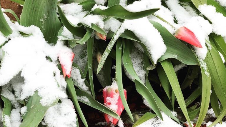
For the hundreds of thousands of Chicago Public Schools students kicking off their spring break Friday, it’ll look more like a snow day.

The weekend will kick off with subzero wind chills Friday night into Saturday morning, before milder temperatures move in Sunday, forecasters said.
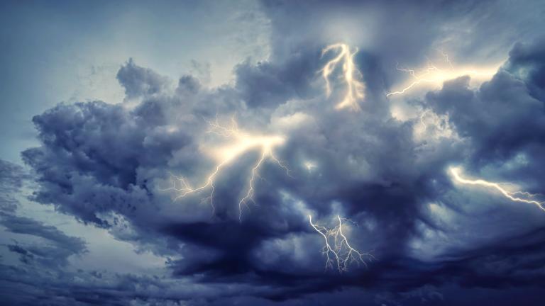
A powerful line of thunderstorms ripped through the Chicago region Saturday night, with wind gusts topping 80 miles per hour. The wild weather continues Sunday with winter mounting a comeback.
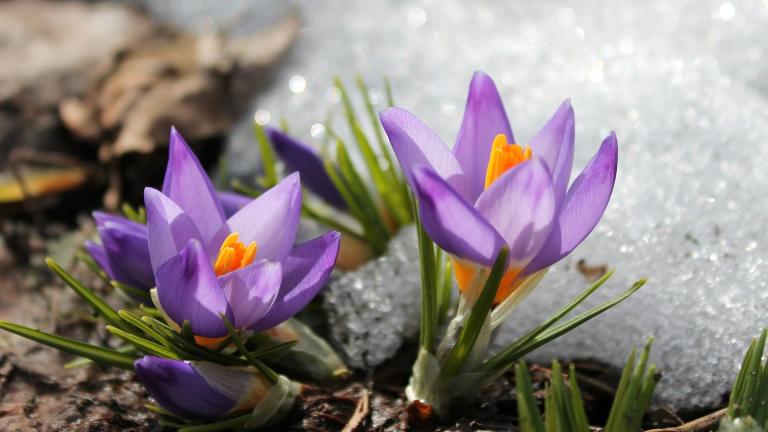
Get ready to experience spring, a brief dalliance with summer, and then a return to winter – all in the coming weekend.
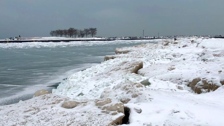
As enchanting as Lake Michigan's ice may appear, it’s unmistakably dangerous, as evidenced this week by the presumed drowning of an Indianapolis man who fell into the water off shelf ice at Indiana Dunes National Park on Monday.
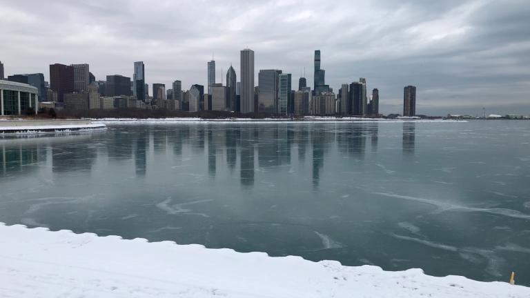
An expected snow-making weather system took a swing south, downgrading anticipated accumulation in the Chicago area, according to the National Weather Service. The evening commute could still be messy.


Meteorologists have a clearer picture of the timing of Thursday’s winter storm, and it looks likely to snarl both the morning and evening commutes, especially in Chicago.
Temperatures could top 50 degrees in the Chicago area on Wednesday but the brief warmup will be accompanied by heavy rains, with a potential for flooding, followed by colder air and a wintry mix that could drop 7 inches of snow.
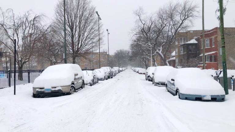
Chicago is digging out from a wild Wednesday that saw continuous snowfall throughout the day, dumping anywhere from 5.6 inches at O'Hare to 11 inches at Midway. That looks to be the end of active weather, for now.
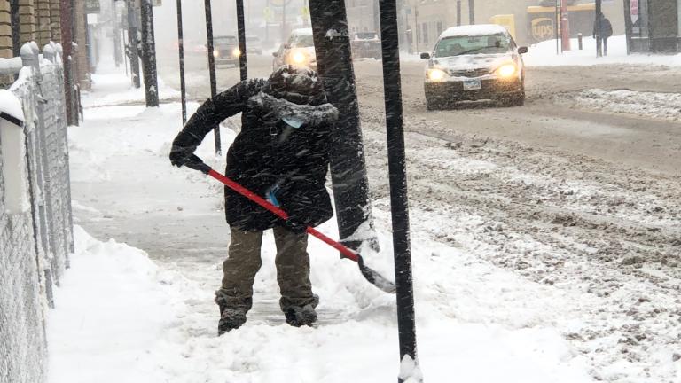
People in the Chicago region woke up Wednesday morning to heavy snowfall hitting just in time to snarl the morning commute. And there's more to come.
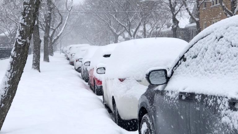
A winter storm warning is in effect for the Chicago region, with the first round of snow expected late Tuesday into most of Wednesday, followed by a second round Thursday.
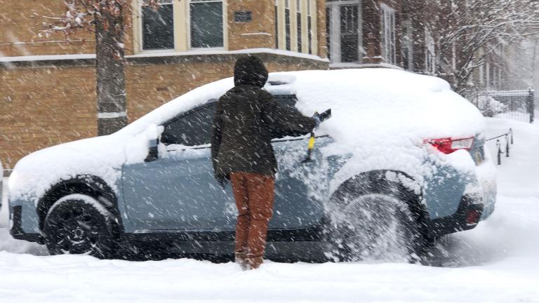
The National Weather Service is encouraging people to avoid non-essential travel, with intense snowfall rates of 1 to 2 inches per hour.
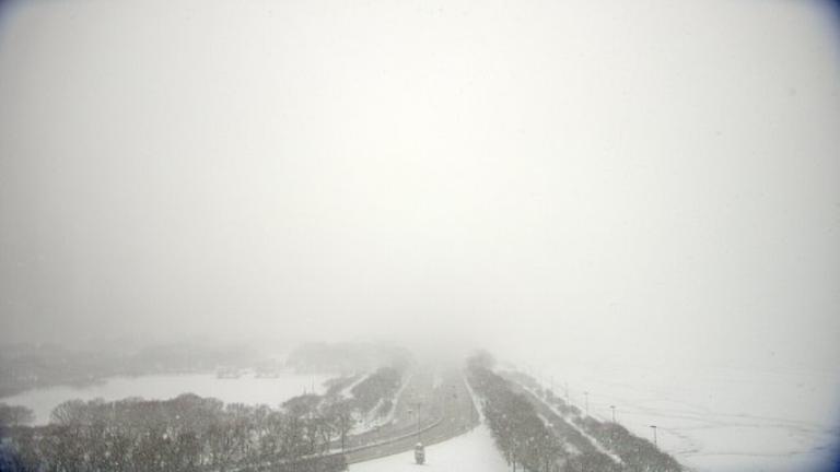
As of 6 a.m. Sunday, snowfall totals measured 3.6 inches at Midway Airport, 3.5 inches at O’Hare Airport and 2.8 inches in Romeoville, according to the National Weather Service. Another round of snow is expected Monday morning.
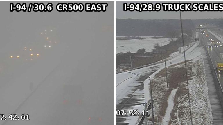
A couple of Indiana highway cameras caught lake effect snow in action Thursday morning, offering a picture-perfect snapshot of one of the region’s quirkier weather phenomena.
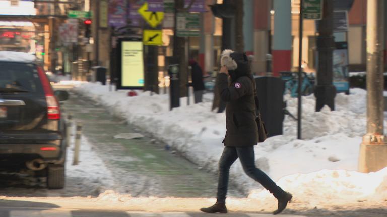
Chicagoans woke up Friday to sub-zero temperatures, the first time in nearly a year the mercury has dipped into the negatives. In anticipation of the cold snap, officials issued reminders and tips.
Trending
2026 Chicago Festival Guide

Interim NITA Director Earning $350K Salary While Also Collecting $213K Annual City Pension, Records Show

Early Voting for November General Election Kicks Off in Downtown Chicago

Uptown Theatre Added to Open House Chicago, Catch a Rare Glimpse Inside Gilded Jewel

Chicago Woman Accused of Social Security Fraud After Hiding Mother’s Body in Freezer for 2 Years

Sign up for the WTTW News newsletter