

National Weather Service
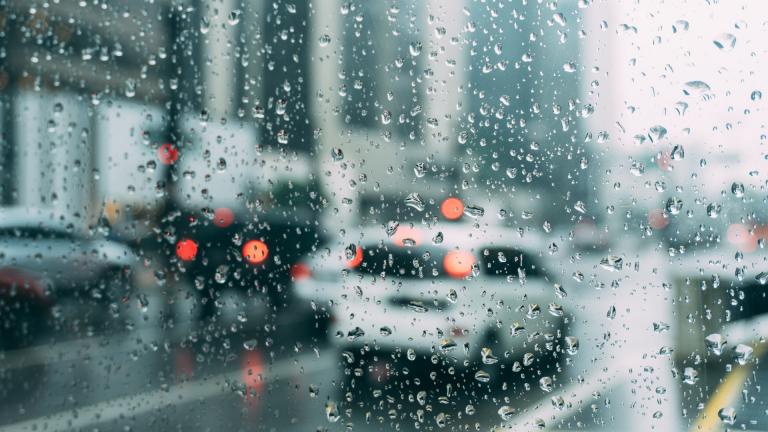
After one of the driest springs on record, the Chicago area is making up for lost precipitation in June. Waves of thunderstorms and torrential rains will roll through the Chicago region this weekend.
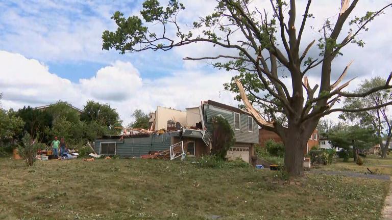
An EF0 tornado, with maximum winds of 85 mph, touched down in Plainfield late Sunday, carving a 3.2-mile path to southwest Romeoville before dissipating near the Mistwood Golf Club, according to the National Weather Service.
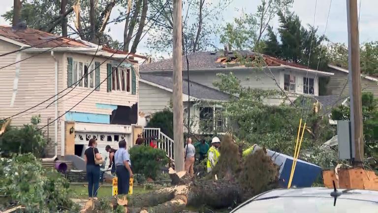

After conducting a preliminary survey of Sunday’s tornado site in the western suburbs, the National Weather Service said it has determined the twister was an EF3, the strongest to touch down in the Chicago metropolitan area since 2015.
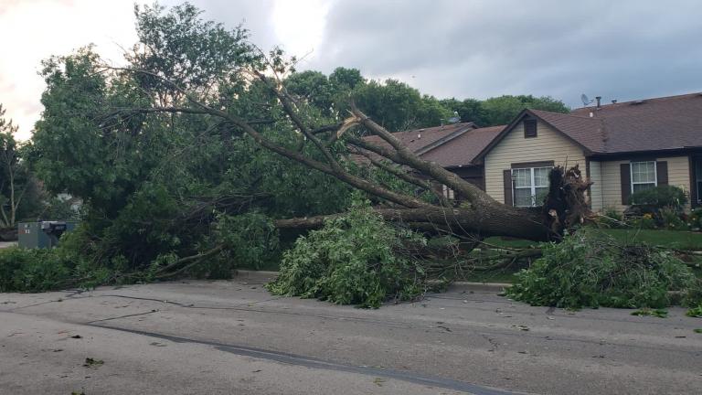
More than 1 million people were under a tornado warning late Sunday as a line of storms ripped through the Chicago area. At least one tornado touched down and left in its wake a path of destruction through Naperville, Woodridge and Darien, according to the National Weather Service.
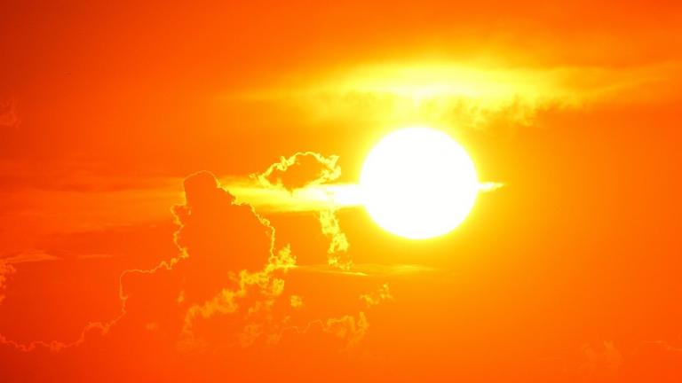
Rockford’s weather station recorded a record-setting number of days reaching temperatures of 90 degrees or above in early June. Chicago’s average temperature for the month is more than 8 degrees above normal.
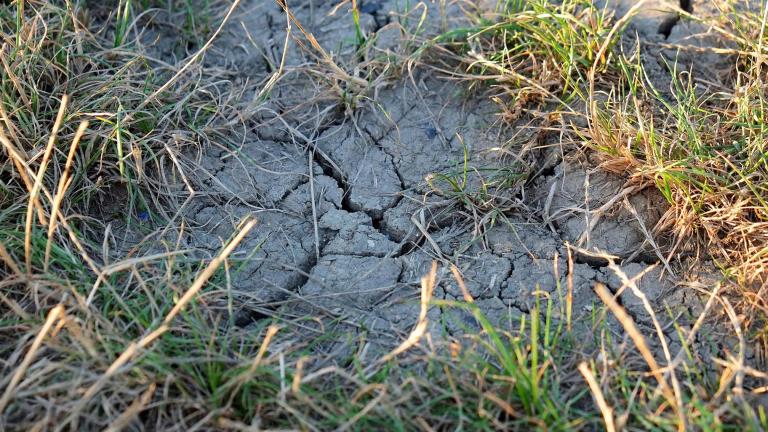
Normally, nearly 11 inches of rain falls on Chicago in the spring. This year, the city has only measured 2.32 inches and is on track to set a record for the driest spring ever.
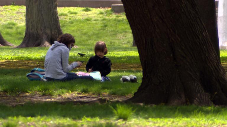
Chicago went from tank-top to sweatshirt weather in a matter of minutes on Tuesday in one of the wildest temperature swings the city has ever seen.
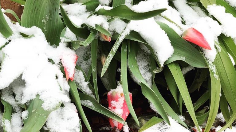
With temperatures expected to dip below freezing, gardeners who jumped the gun might want to consider covering tender vegetation, according to experts.
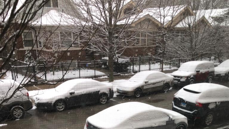
A system carrying moisture from the Gulf of Mexico will hit the area late Monday morning through early afternoon, bringing with it rain, sleet, freezing rain and snow.
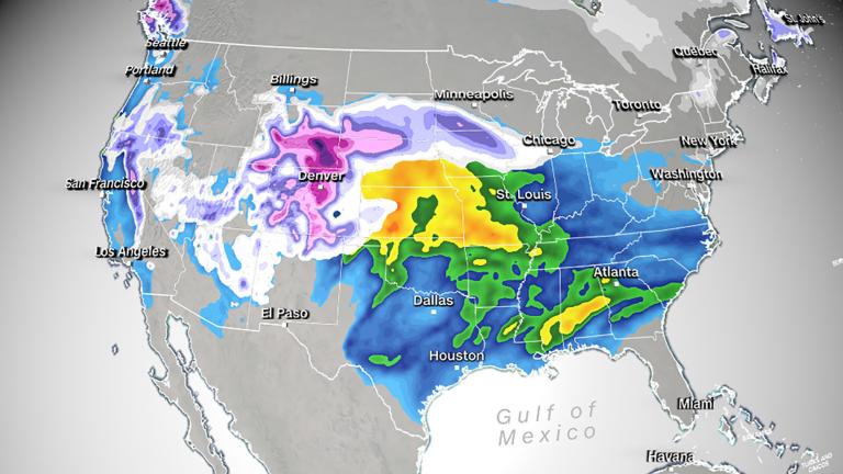
Snow through central portions of the US is expected to ramp up Saturday, but likely won’t reach its peak until Sunday. Flood alerts are also a big concern for this system in the Midwest. With some rivers nearing flood stage, the anticipated heavy rain could take the rivers to dangerous levels.
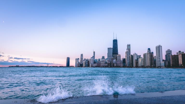
Batten down the hatches, or at least secure lightweight objects outdoors. There’s a wind advisory in effect Wednesday.
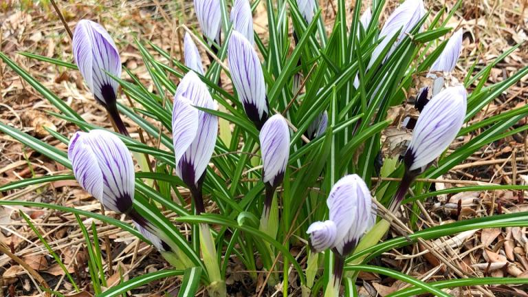
Tuesday’s weather was one for the record books, with the mercury at O’Hare hitting 69 degrees, tying the highest temperature for March 9 set back in 1974, according to the National Weather Service.
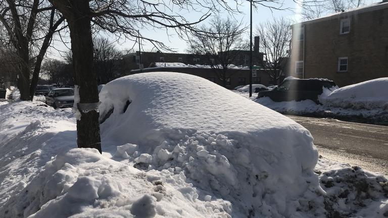
After numerous winter storms this month left much of the Chicago area blanketed in an entire season’s worth of snowfall and ushered in dangerously cold wind chills, warmer temperatures are expected in the coming days. But first: more snow.
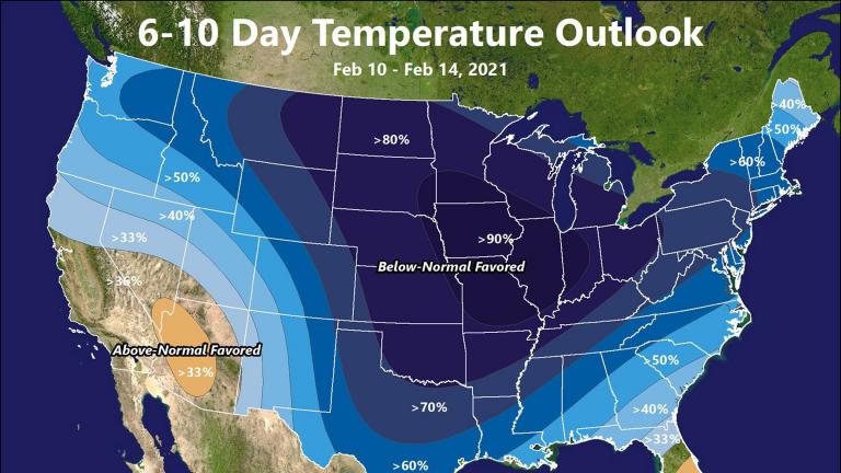
This week’s killer freeze in the U.S. was no surprise. Government and private meteorologists saw it coming, some nearly three weeks in advance. And yet catastrophe happened. At least 20 people have died and 4 million homes at some point lost power, heat or water.
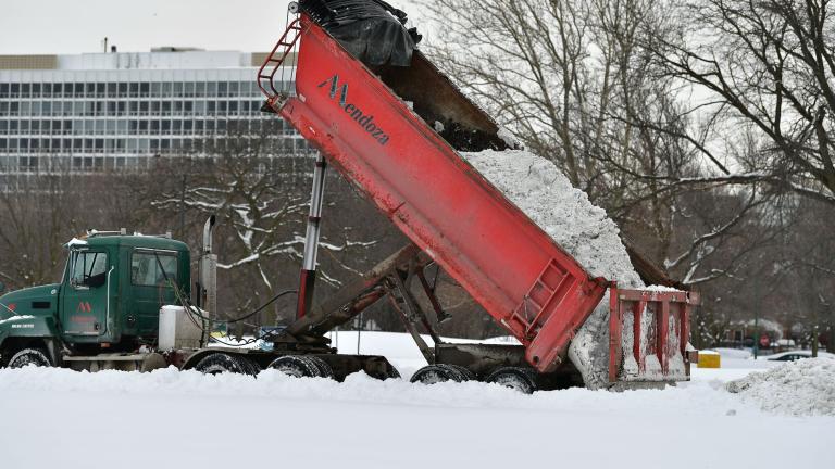
If winter 2021 feels epic, that’s because it has been. According to the National Weather Service, it’s been 40 years since Chicago has seen so much snow in such a short span of time.
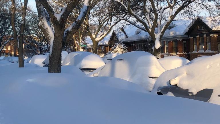
O’Hare Airport officially notched 7.5 inches of snow but some Chicago neighborhoods got socked with more than twice that amount in the past 24 hours.
Trending
Interim NITA Director Earning $350K Salary While Also Collecting $213K Annual City Pension, Records Show

Early Voting for November General Election Kicks Off in Downtown Chicago

Uptown Theatre Added to Open House Chicago, Catch a Rare Glimpse Inside Gilded Jewel

City Lawyers Propose Spending $260.8M to Settle 16 Cases Tied to Disgraced Ex-CPD Detective Guevara

Chicago Woman Accused of Social Security Fraud After Hiding Mother’s Body in Freezer for 2 Years

Sign up for the WTTW News newsletter