

National Weather Service

The National Weather Service on Tuesday said that as of 12:10 p.m., one-tenth of an inch of snow had been recorded at O’Hare Airport — Chicago’s official weather site — making the first measurable snowfall in 287 days.
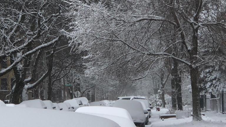

The National Weather Service is forecasting a "burst of wet snow" on Tuesday and a chance of light snow on Wednesday, which could bring Chicago's snow-free streak to an end.

Chicago has never gone this late in the year without a measurable snowfall, and there's no sign of the white stuff in sight.

Wednesday saw record high temperatures across the region, wind gusts above 60 miles per hour and even the smell of smoke, which rode in on winds all the way from brush fires in Kansas.
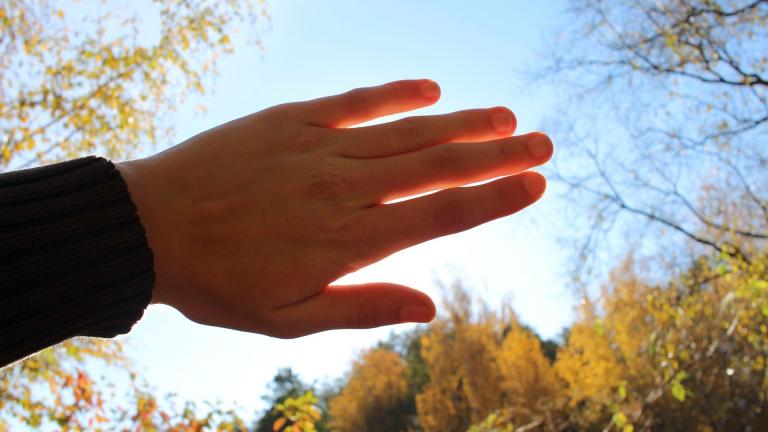
A 50-year record could fall Wednesday as the temperature in Chicago is expected to reach the mid- to upper-60s, according to the National Weather Service. The warmest Dec. 15 to date was 64 degrees in 1971.

A strong storm system is moving into the Chicago region, bringing an “out-of-season” threat of thunderstorms and even tornadoes, with the worst expected to hit after 9 p.m. Friday, the National Weather Service said.
It’s been 268 days, and counting, since Chicago recorded its last measurable snow. The record of 290 days is within reach.
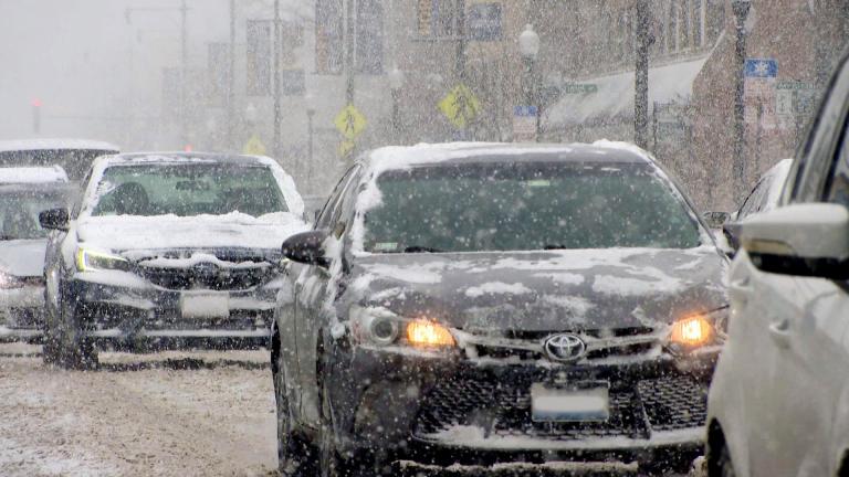
Buckle up for a bumpy ride this weekend. Friday’s forecast calls for high winds and bursts of heavy snow, more snow is possible Saturday, and Sunday’s temperatures are expected to dip into the teens, according to the National Weather Service.
The National Weather Service is encouraging folks to get out and enjoy what could be the last day to reach the mid- to upper-60s in 2021.
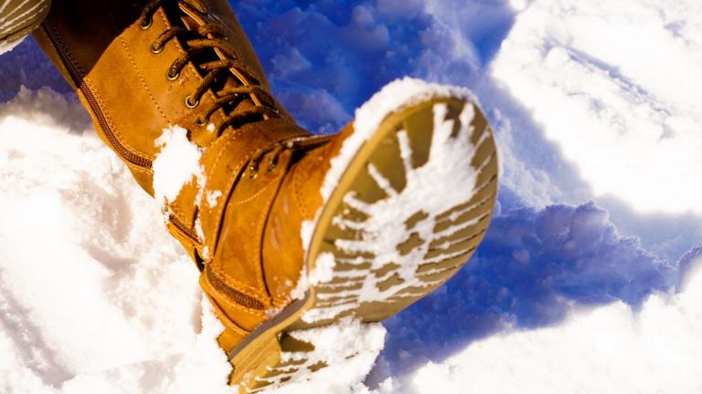
The first snow of the season has officially hit the ground in the Chicago region, with a trace amount recorded at Rockford on Thursday morning, according to the National Weather Service.

All those green tomatoes still on the vine are in for a shock as November kicks off with a string of overnight temperatures dipping below freezing, according to the National Weather Service.
Mother Nature is throwing the kitchen sink at Chicago, weather-wise, to kick off the work week.
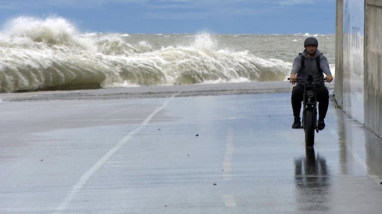
The National Weather Service is warning people to steer clear of parks, trails, piers and breakwaters Wednesday and Thursday, with waves as high as 18 feet and wind gusts up to 45 miles per hour in the forecast.
According to the National Weather Service, drier air is moving into the region, bringing with it more comfortable weather.
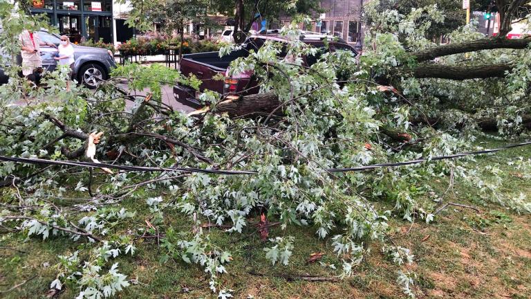
The Midwest, including most of Wisconsin, will be at risk from possible tornadoes, strong storms and hurricane-force winds Wednesday as the region is under a level 4 out of 5 threat of severe weather.
High temperatures and oppressive humidity levels could combine for a triple-digit heat index Saturday. Air quality continues to be affected by smoke in the atmosphere from wildfires in the western U.S. and Canada.
Trending
Interim NITA Director Earning $350K Salary While Also Collecting $213K Annual City Pension, Records Show

Early Voting for November General Election Kicks Off in Downtown Chicago

Uptown Theatre Added to Open House Chicago, Catch a Rare Glimpse Inside Gilded Jewel

Chicago Woman Accused of Social Security Fraud After Hiding Mother’s Body in Freezer for 2 Years

City Lawyers Propose Spending $260.8M to Settle 16 Cases Tied to Disgraced Ex-CPD Detective Guevara

Sign up for the WTTW News newsletter