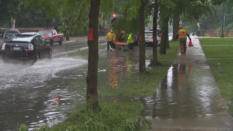
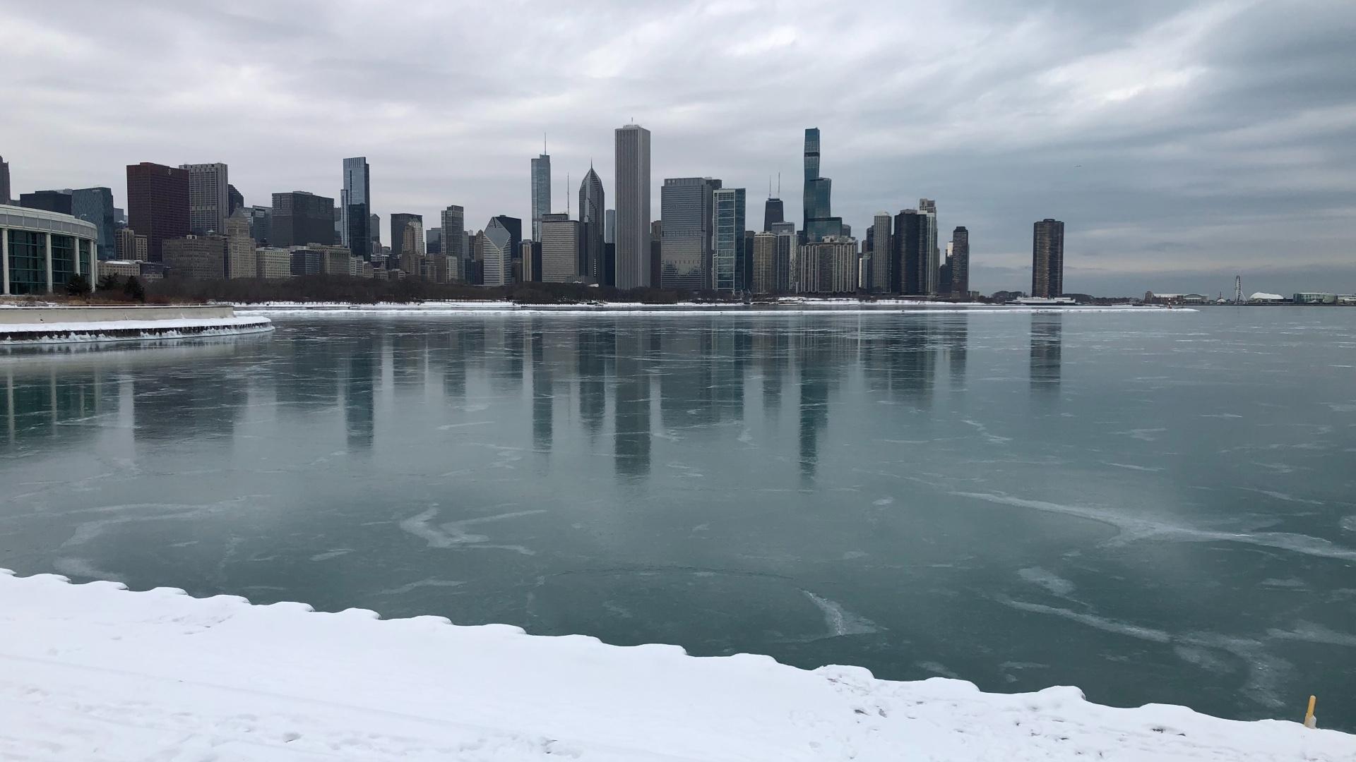
 (Patty Wetli / WTTW News)
The National Weather Service has issued a winter storm watch in advance of a multi-facted system that’s heading for the Chicago region Wednesday and Thursday. Forecasters are anticipating a mix of rain, ice and snow that has the potential to cause flooding, snarl morning and evening commutes, and might even create blizzard-like conditions along the lakefront.
Things start out pleasantly enough on Wednesday, when temperatures are expected to reach 50 degrees in the Chicago area. But even that brief warmup comes with a warning, bringing rain and melting snow and ice.
Rainfall of up to an inch — a significant amount for February — is forecast for Wednesday, beginning in the afternoon with the heaviest downpours expected later in the evening. Coupled with melting runoff, the rain will create conditions ripe for flooding in low-lying and poorly drained areas. With the ground still frozen or thawing, it won’t be able to absorb the excess water. The weather service is encouraging people to make sure drains are cleared of ice, snow and debris in advance of the rain.
As temperatures fall Thursday morning, the rain will change over to freezing rain, then sleet, then snow — an icy mix that will make for hazardous travel. The transition between rain and sleet could hit right at the morning rush hour in Chicago, according to the weather service.
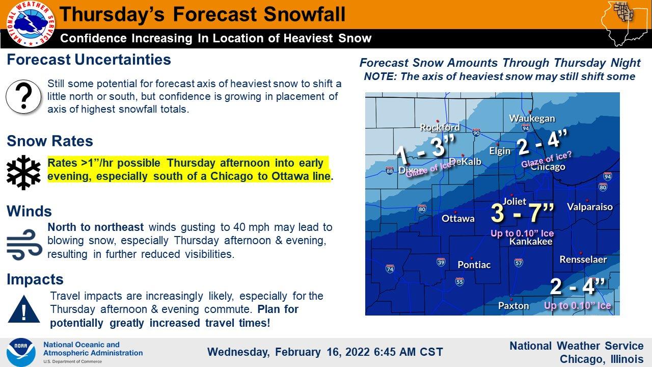
Heavy wet snow — like paste — will follow. Accumulation will vary widely, with areas to the northwest receiving 1 to 3 inches, Chicago notching 2 to 4 inches, and areas south seeing up to 7 inches. Road conditions will deteriorate throughout the day. According to forecasters, the big question mark is the duration of the heavy snowfall, which will impact totals.
Gusty winds, possibly up to 45 miles per hour at the lakefront, could further affect visibility. Waves on Lake Michigan could reach 9 to 13 feet, which forecasters are watching closely to determine whether a lakefront flooding advisory will be necessary. Thankfully lake levels have dropped slightly from the record highs of 2019-20, otherwise the concern would be even greater, the weather service said.
Here’s how things will shake out:
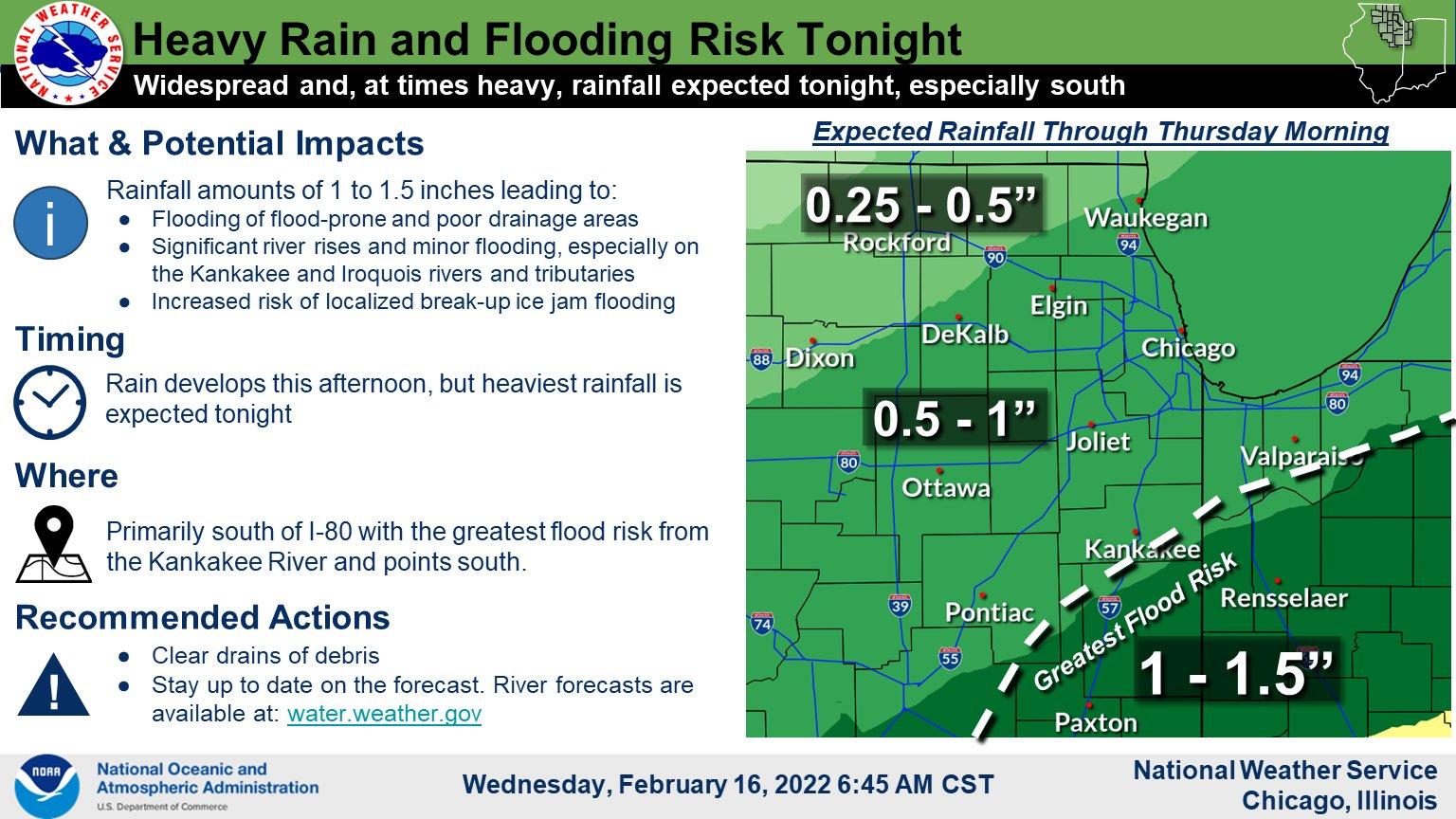 (National Weather Service Chicago)
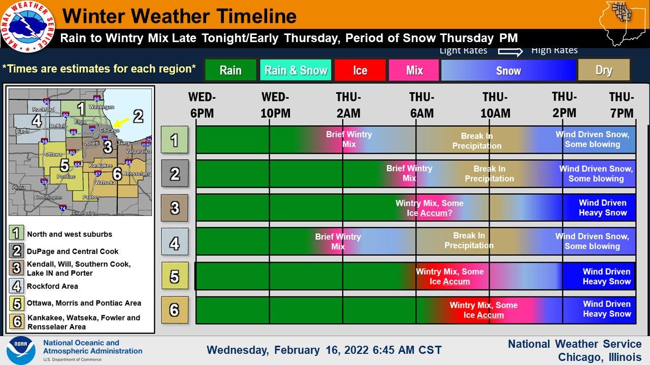 (National Weather Service Chicago)
 (National Weather Service Chicago)
Contact Patty Wetli: @pattywetli | (773) 509-5623 | [email protected]

