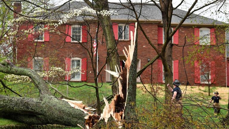
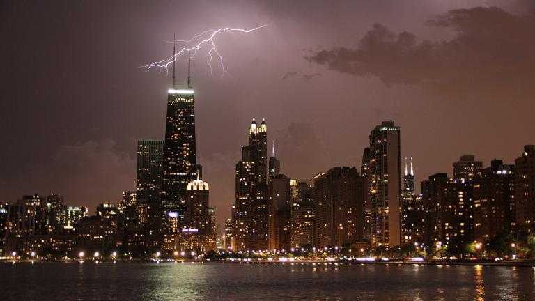
The week started off with a tornado in the western suburbs.
The cool air from the weekend followed by the hot air coming through is where the thunderstorms like to form, said Scott Collis, an atmospheric scientist and department head at Argonne National Laboratory. But it was unusual because it was particularly isolated and compact, Collis said.
The National Weather Service in Romeoville-Chicago determined that it was an EF-0 tornado that touched down in Schaumburg and went for two miles into Roselle with 80 mph winds, he said.
See: The Spectacular ‘Not Quite a Tornado’ Storm, in Pictures
Then, the Chicagoland area was hit with an excessive heat warning. It ended up being our warmest stretch of days in 10 years.
See: It’s Hotter Than Hot Outside. What Exactly Is the Heat Index?
At the O’Hare Airport, the temperatures on June 14 and 15 were 98° and 96°. That’s the first two days in a row warmer than 95° for Chicago since July 2012. And at Midway Airport, June 14 and 15 were both 100°. The last time two consecutive days were at 100° was in July 2012, according to the National Weather Service.
“It wasn’t just the warmth — it was the moisture in the air,” Collis said. “When you get warm and moist air like that it really inhibits the body’s ability to cool down by sweat.”
Collis said the heat is a bigger concern than the tornados. Tornados on average kill about 70 people — however the kind of heat Chicago saw this week kills about 140 people every year.

