

National Weather Service
With high temperatures in the forecast, city officials issued a reminder to landlords about new air conditioning requirements, put in place in 2022 after three women died in a Rogers Park senior living facility.
Chicago has recorded less than half an inch of rain in May, leading to what climate experts call a flash drought.
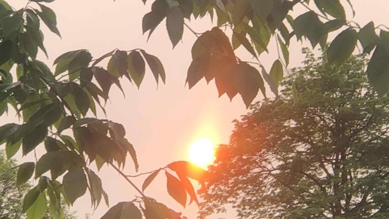
Smoke from raging wildfires in western Canada has reached Chicago, creating hazy skies and making for redder sunrises and sunsets.

Right on cue, the much hyped “pneumonia front” hit Chicago shortly after 5:30 p.m. Tuesday, sending the official temperature at O’Hare International Airport plummeting from 81 degrees to 66 degrees in short order.
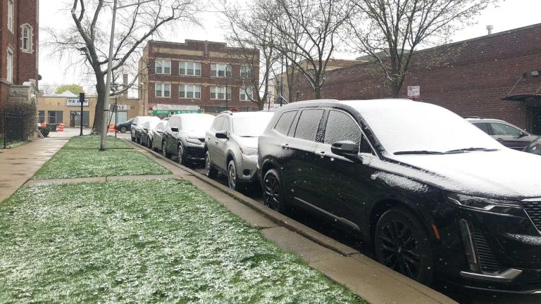
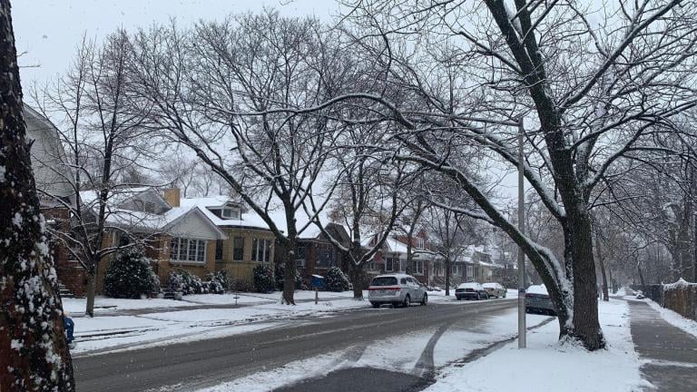
In true springtime-in-Chicago fashion, last week’s record-setting summer-like temperatures gave way to a return on winter Monday, as people woke up to snow-covered cars and below-freezing wind chills.
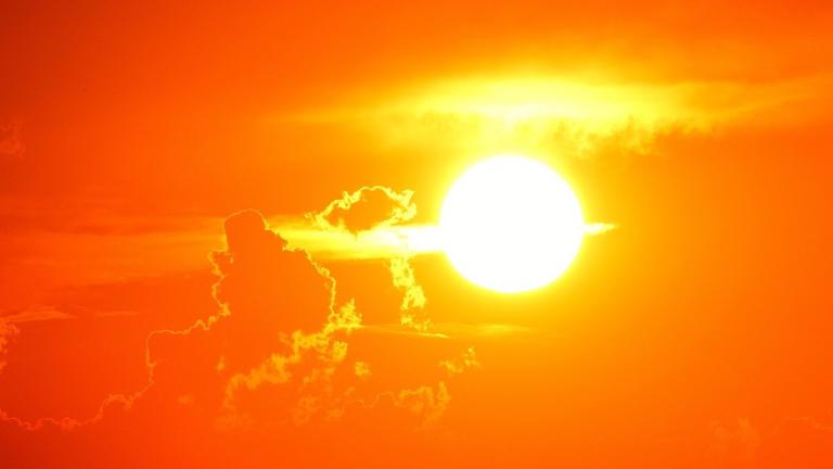
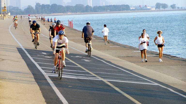
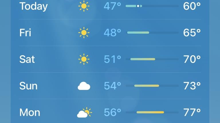
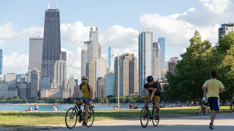
Chicagoans will enjoy another summer-like day, with the temperature predicted to hit what would be a record-setting 83 degrees on Thursday, according to the National Weather Service.
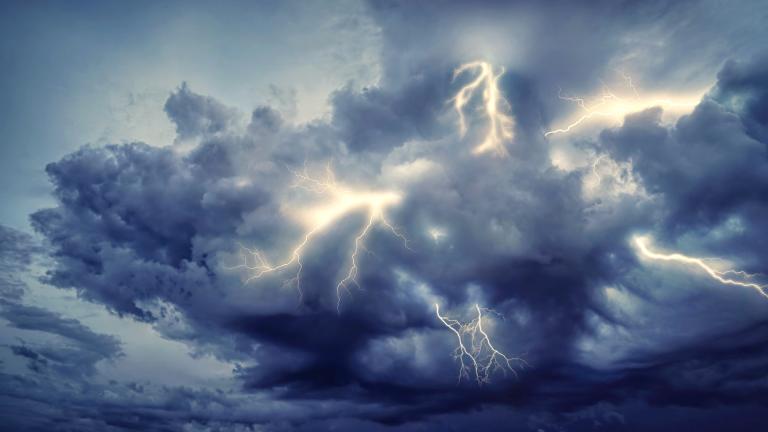
The National Weather Service said starting around 2 p.m. Friday, the Chicago area is expected to see destructive winds and the possibility of tornadoes that could cause extensive damage.
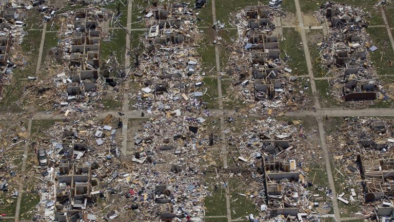
A seemingly relentless series of severe storms, likely with deadly tornadoes, are forecast to rip across parts of America’s Midwest and South over the next couple weeks, especially Friday, meteorologists said.
Chicago will dodge the worst of a storm system whose track has stymied meteorologists as it's approached the region.
At some point Friday, it will probably rain or snow, but how much of which form of precipitation will fall, and where, forecasters still can’t say with confidence.
The big story was the amount of rain that fell in the Chicago region: There have only been seven wetter Februarys since 1871.
A winter weather advisory has been issued for 6 a.m. to 9 p.m. Thursday in the Chicago area. Slippery pavement will be a bigger issue than snow accumulation.
Lingering lake effect snow could make the evening rush hour an equal exercise in patience, according to the National Weather Service.
The National Weather Service is trackiThe National Weather Service is tracking a storm set to hit late Tuesday, with peak snowfall during Wednesday morning’s commute. The greatest snow totals are expected east of I-55 and south of I-80.ng a storm set to hit late Tuesday, with peak snowfall during Wednesday morning's commute. The greatest snow totals are expected east of I-55 and south of I-80.
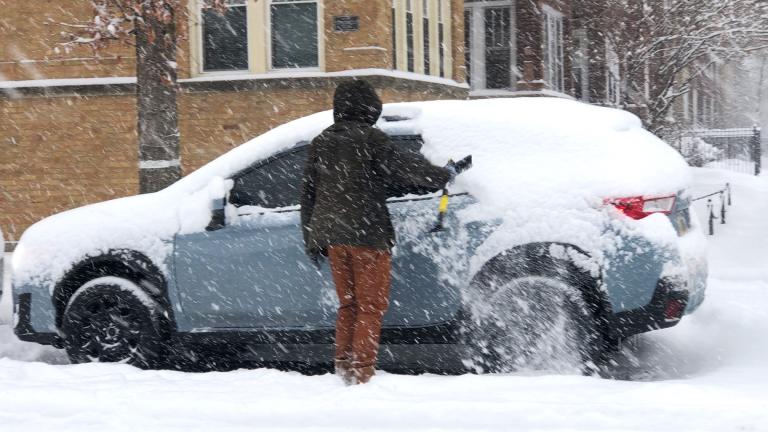
The snow total from Thursday was a mere 1.3 inches at O'Hare (though northwest Indiana and lower Michigan have been hammered with lake effect), but the real danger of this system was always the wind and cold, meteorologists said.
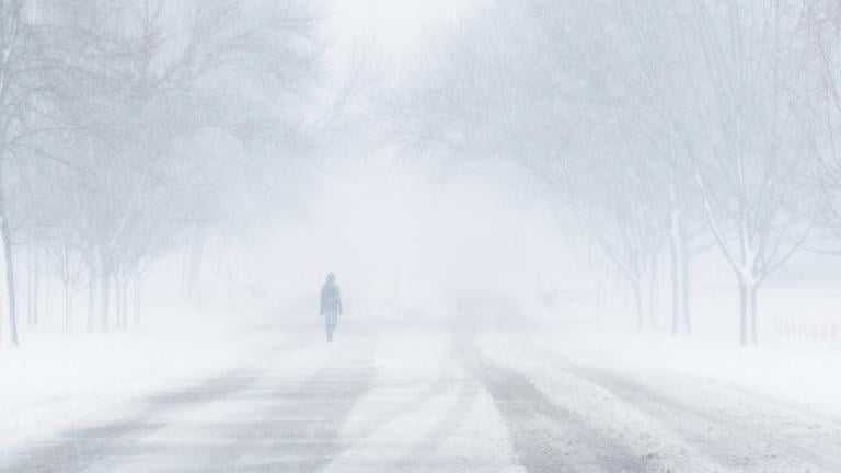
Unless you live in a year-round warm climate and plan to stay there, it’s important to know how winter storms behave, how to avoid and prepare for them, and heaven forbid, what to do in the worst-case scenario.
Trending
2026 Chicago Festival Guide

Interim NITA Director Earning $350K Salary While Also Collecting $213K Annual City Pension, Records Show

Firm Set to Buy Chicago’s Parking Meters Sells Airline That Carried Out Deportations

Early Voting for November General Election Kicks Off in Downtown Chicago

Chicago Woman Accused of Social Security Fraud After Hiding Mother’s Body in Freezer for 2 Years

Sign up for the WTTW News newsletter