 (Nikita Khandelwal / Pexels)
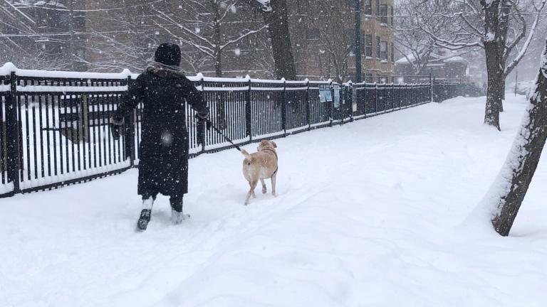
Chicago’s about to make a dent in its snowfall deficit, with the latest forecast calling for 2 to 4 inches of accumulation in the city in the first significant weather event of 2023.
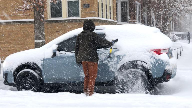
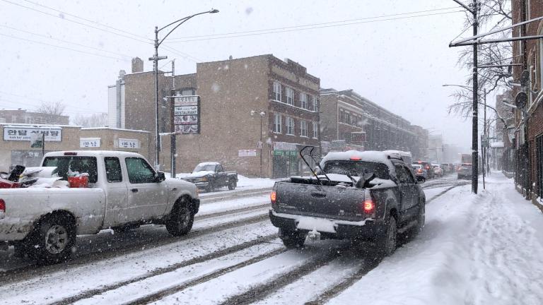
The National Weather Service is tracking a storm set to hit late Tuesday, with peak snowfall during Wednesday morning’s commute. Meteorologists expect the snow to be on the heavier, wetter side.
On Tuesday afternoon, the weather office extended its winter weather advisory north to the Illinois-Wisconsin border, adjusting its forecast to predict greater accumulation than originally thought north of I-88. Though snow is expected to taper off Wednesday afternoon, lake effect snow could continue into Wednesday evening.
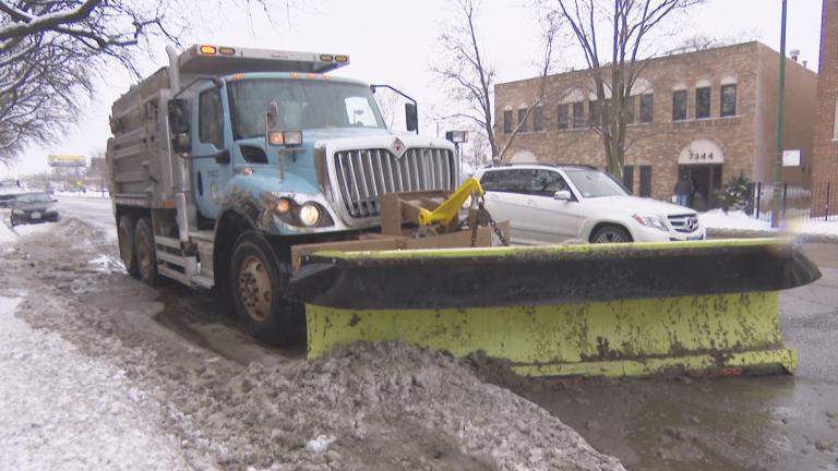
Aside from a deep freeze in late December, it has been a quiet winter on the weather front. To date, Chicago has recorded just 5 inches of snow, more than 10 inches below normal. The idling snowplow fleet hasn’t had much to do besides run a naming contest.
Here’s the updated forecast.
Snow develops late tonight and continues tomorrow. Light snow does persist Wed eve, but greatest travel impacts expected during the AM Wed commute. Total snow accums range from 1-3" near IL-WI state line to 4-6"+ south of a Paxton to Rensselaer line. #ILwx #INwx (2/4) pic.twitter.com/eQn1rDMqL6
— NWS Chicago (@NWSChicago) January 24, 2023
Broadening out the view for a look at Indiana:
Winter Storm Warnings are now in place for much of the area as 6-8" of snow is expected across Central and North Central Indiana from late tonight through Wednesday Afternoon. Travel conditions will be difficult, particularly tomorrow morning. #INwx pic.twitter.com/5RLliD5mJi
— IndianaWeatherOnline (@IndianaWxOnline) January 24, 2023
Contact Patty Wetli: @pattywetli | (773) 509-5623 | [email protected]

