Chicago could see its coldest high temperatures in nearly 40 years as an arctic blast grips the Midwest.
The snow total from Thursday was a mere 1.3 inches at O'Hare (though northwest Indiana and lower Michigan have been hammered with lake effect), but the real danger of this system was always the wind and cold, meteorologists said.
Air temperatures — not factoring in the wind chill — will struggle to get out of the negative column and reach zero degrees on Friday. The last time Chicago notched a sub-zero high temperature in December was 1983.
For those who don't remember December 1983 (or weren't born yet), there were 3 consecutive days where the high temp never got above -5F!
Hi Lo
Dec 23 -6 -21
Dec 24 -11 -25
Dec 25 -5 -17As brutal as it is now, it could be (a little bit) worse...
— NWS Chicago (@NWSChicago) December 23, 2022
High winds will make it feel more like 30- to 40-below zero, which prompted cancellations and closures across the region.
Closures ranged from the Field Museum to the DuPage County Forest Preserves, and outdoor holiday lights displays at Lincoln Park Zoo, Chicago Botanic Garden and Morton Arboretum canceled their Thursday and Friday shows. The Christkindlmarkets downtown and in Aurora ended their seasons early, and the Wrigleyville location will be closed until Dec. 26.
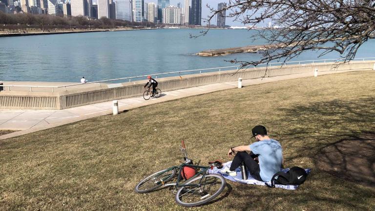
The Chicago Park District announced crews have barricaded a section of the city's lakefront trail, shutting down the path between Oak Street and Ohio Street. The district also warned residents and visitors to use caution along the lakefront.
"The combination of snow, frigid temperatures and high winds make the lakefront a dangerous place to be," the district said in a statement. "We urge runners and pedestrians to stay clear of the lakefront trail, especially in areas nearest to the lake where conditions may become slippery and dangerous."
Temperatures that had hovered above freezing Thursday morning had dropped to a wind chill reading of near zero degrees by mid-afternoon.
The Illinois Department of Transportation shared webcam images of roadways, demonstrating visibility issues caused by blowing snow.
1:30 pm update: Conditions continue to deteriorate as the storm moves east. If you have to be out, give our drivers plenty of room to work. Roads will be better off behind the plows. pic.twitter.com/JSPBLa4Tnn
— IDOT_Illinois (@IDOT_Illinois) December 22, 2022
An arctic front has already sent temperatures in the western U.S. plummeting as much as 40 degrees in a half hour, and the deep freeze is set to take hold in Chicago on Thursday afternoon.
Meteorologists are now also forecasting a period of heavy snowfall at a rate of an inch an hour, creating treacherous driving conditions for commuters and holiday travelers.
Here's an updated timeline for the storm's major impacts of high winds, bitter cold and snow.
Here’s a timeline of the dangerous winter weather today through Saturday. Impacts from this storm will be driven by a combination of cold, wind, and snow rather than snow alone! Avoid non-essential travel. #ILwx #INwx (4/6) pic.twitter.com/2NyIrVaXCs
— NWS Chicago (@NWSChicago) December 22, 2022
Snow totals aren't expected to top 6 inches in most of the region, but don’t be fooled by those relatively tame amounts, said Mike Bardou, meteorologist in the Chicago office of the National Weather Service.
It doesn’t sound horrible, but factor in sustained winds of 25 to 30 miles per hour, blowing what snow there is, and people will find themselves in whiteout conditions, he said.
Exposed north-south roads will be the most affected by drifting, including interstates 39, 57, 65, 355, 94, 294 and parts of I-55.
Airlines at O'Hare have already proactively canceled more than 400 flights, and more than 160 flights have been canceled at Midway, airport officials announced Thursday morning.
Once the storm front arrives — sometime between noon and 2 p.m. Thursday in Chicago — temperatures will drop almost immediately, diving from above freezing in the morning to dangerous subzero wind chills by late Thursday night into Friday.
“Things will go downhill quickly,” said meteorologist Kevin Birk. “The afternoon commute on Thursday will be impacted by accumulating snow.”
Wind gusts are expected to top 50 miles per hour, especially after midnight Thursday and throughout the day Friday. Wind chills could dip to 35 to 40 degrees below zero, creating life-threatening conditions for people exposed to the elements, Birk said, including people stranded in their cars.
The one seeming positive of the frigid temperatures — the snow will be dry and light versus wet and heavy — also means the fluffy snow will be very easy for winds to blow into drifts. This blowing snow is also likely to reduce visibility to less than a quarter-mile in places like Porter County, Ind., where the National Weather Service has issued a blizzard warning.
The speed at which the system intensified makes it difficult for forecasters to predict, said Scott Collis, an atmospheric scientist at Argonne National Laboratory. The official name for these types of systems is a bomb cyclogenesis.
“That’s why you have the language we have been using be very cautious, because you’re predicting something that is not only moving but changing as it moves,” Collis said.
With the storm system shaping up to be widespread across the Midwest, meteorologists said they wanted to get the word out as quickly as possible so people could adjust their holiday travel plans if needed.
“It’s an ill-timed storm system and we just to make sure everyone stays safe,” Birk said.
Arrival time of hazardous travel conditions today: Arctic front will sweep across the area from late AM thru early aftn from west to east, with accumulating snow, plummeting temps & gusty winds. A flash freeze may cause ice covered roads, topped by the snow. #ILwx #INwx (2/6) pic.twitter.com/q7dMame07q
— NWS Chicago (@NWSChicago) December 22, 2022
Travel or not, Dr. Claudia Fegan, chief medical officer at Cook County Health, said one health concern in this weather is cold exposure. Stay alert to see if fingers start to change colors or for numbness or tingling, she added.
Heart attacks are another top concern, Fegan said. If you have heart condition or high blood pressure, she warns against shoveling snow or, if need be, taking frequent breaks. Being out in the cold can increase heart rate, blood pressure and cardiac events.
“This is a good time to be checking on your neighbors,” Fegan said.
Temperatures should begin to rebound early next week, climbing back above freezing, meteorologists said.
Here are current snow predictions:
.While most of area will only see moderate snow amounts with the exception of northern Porter Co., the combination falling snow, gusty winds & plummeting temperatures will make travel conditions treacherous from later this morning & this afternoon onward. #ILwx #INwx (5/6) pic.twitter.com/57TYSHc85U
— NWS Chicago (@NWSChicago) December 22, 2022
This article originally published Dec. 19 and has been updated with new forecast information.
Contact Patty Wetli: @pattywetli | (773) 509-5623 | [email protected]

