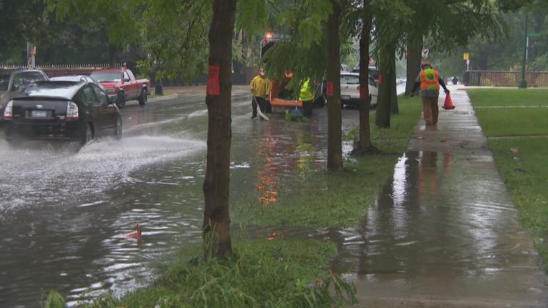
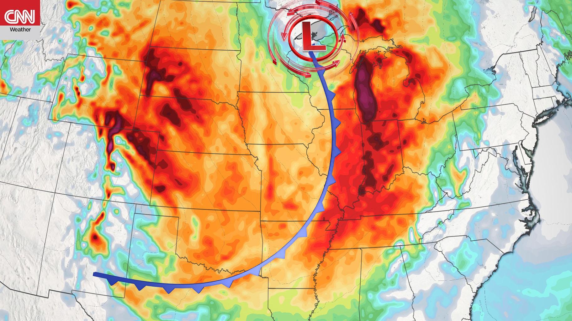
 Storms are making their way from the Pacific Northwest to the Great Lakes region. (Credit: CNN Weather)
(CNN) — A series of storms is making its way from the Pacific Northwest to the Great Lakes region Sunday, and they will be bringing everything but the kitchen sink with them.
Rain, snow, and tropical storm-force winds are all possible over the next 24 hours.
A cold front and associated low pressure system which originated in the Pacific Northwest Friday is moving across the Upper Great Lakes and eventually the Northeast later Sunday.
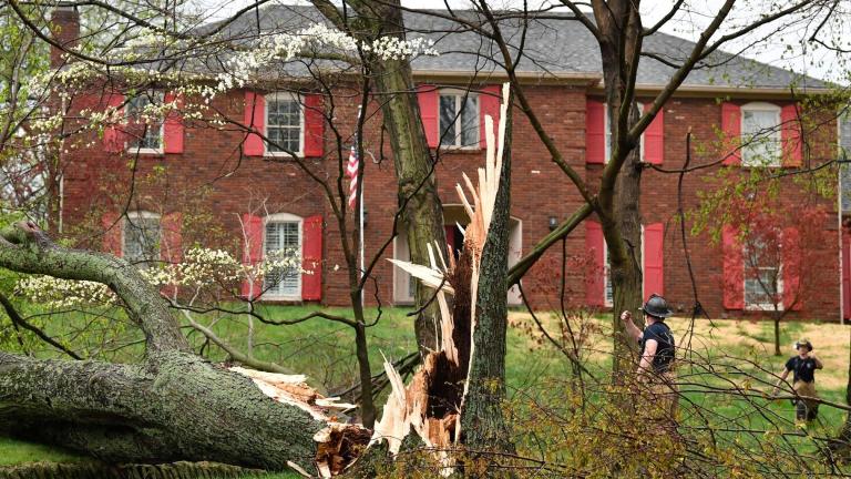
Storm winds tore apart buildings in Missouri on Saturday night. On Twitter the State Highway Patrol urged those in the Osage Beach area to be careful after significant damage was reported in that area. No tornadoes have been reported, but the winds — accompanied by hail — blew between 60 and 69 mph, according to CNN meteorologist Derek Van Dam.
First storm is on the move
Rain was the more widespread concern Saturday from the Central Plains to the Great Lakes region, and the snow chances were limited to portions of the Upper Midwest including Minnesota, Wisconsin, and the Upper Peninsula of Michigan.
As those snow chances transition to the Great Lakes region Sunday, strong winds and colder temperatures will trigger lake effect snow for the region.
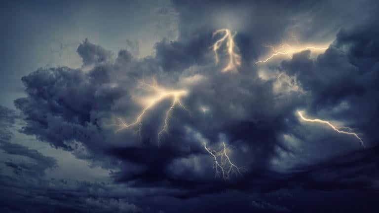
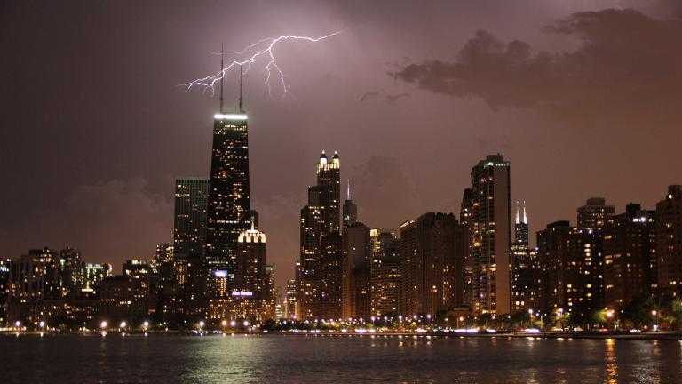
Sunday, severe storms will be possible in New York, Philadelphia and Washington DC, mainly in the second half of the day. The main threat will be severe, damaging winds and frequent lightning.
Soggy conditions will also affect Boston, Hartford and Portland, Maine later Sunday.
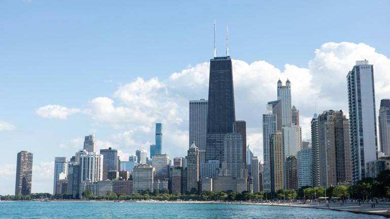
Chicago is living up to its “Windy City” title Sunday with wind gusts up to 50 mph, along with a rain and snow mix. Nearly 100 million people were under wind alerts including Chicago, Cleveland, Detroit, Louisville, Boston, and Nashville. In general, sustained winds of 25 to 45 mph with gusts to 50 to 65 mph were forecast for much of the Midwest and Northeast.
Tropical storms have winds of at least 39 mph or higher, which means many of these areas will see sustained winds of at least tropical storm strength, gusting even higher occasionally.
Those high winds triggered critical fire weather conditions in portions of Colorado, New Mexico, Texas, Oklahoma, and Kansas. Elevated fire weather levels are still in effect for all of those states Sunday. The critical fire threat is being driven by these high winds gusts combined with humidity levels down to less than 20%, making it easy for fires to spread.
Next storm on the way
It’s looking more like “Snow-vember” for many areas of the western US lately. Mt. Baker Ski Area in Washington picked up 38 inches of snow. Just south of there, both Stevens Pass and Snoqualmie Pass picked up nearly 20 inches, and more is on the way.
“A series of weather systems will move across the area through the middle of next week with lowland rain, mountain snow and gusty winds at times,” the National Weather Service office in Seattle said on Saturday. “Next system arriving tonight followed by a warm front later Monday and a cold front Tuesday.”
Overall snowfall accumulations will be highest near the peak elevations of the Cascade and Rocky Mountains where as much as an additional foot of snow is possible through the weekend.
Rainfall will be along the coast of Washington and Oregon where 2 to 3 inches is forecast this weekend. However, other areas of the West Coast and Mountain West will see 1 to 2 inches of rain.
Keep in mind that any areas that receive those amounts of rain could also see localized flash flooding, especially along any of the numerous fire burn scar areas.
The-CNN-Wire
™ & © 2020 Cable News Network, Inc., a WarnerMedia Company. All rights reserved.

