Science & Nature
'Super' El Niño Winter Weather Outlook Is Here, What Does It Mean for Chicago?
 (FTiore / iStock)
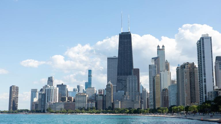
All signs are pointing to a very strong or “super” El Niño event shaping up in the Pacific Ocean, which will affect Chicago's upcoming winter in ways forecasters are beginning to predict.
The National Oceanic and Atmospheric Administration (NOAA) issued its winter weather outlook Thursday, and meteorologists with the Chicago office of the National Weather Service have summarized the report's predictions for northeast Illinois.
These seasonal outlooks provide the likelihood that temperatures and total precipitation amounts will be above-, near- or below-average. It does not project snow accumulation totals.
In the Midwest, NOAA's outlook is favoring above normal temperatures for meteorological winter — December 2026 through February 2027 — but is fairly neutral on whether precipitation will be above or below normal. The data for past strong to very strong El Niño events (since 1950) suggests below average snowfall across the region, the Chicago office noted, but added that mixed precipitation events such as sleet or freezing rain were still very much on the table.
The closest comparison for Chicagoans would be the winter of 2015-16, which was a near record strong El Niño event. That winter, the average temperature was nearly five degrees above normal and the snowfall total was almost a foot less than normal.
A caveat from the NWS Chicago office: There have been so few super El Niño events — just six — that drawing conclusions from such a small sample size is difficult.
“Even in a mild winter, expect notable periods of cold weather and/or impactful winter precipitation,” the Chicago office said.
To better prepare the public for impending severe weather, the National Weather Service has approved new language to be used in select blizzard and ice storm warnings. “Particularly dangerous situation” will now be issued when a blizzard or ice storm is expected to be of extreme or historic severity.
The language is designed to distinguish between a “typical” blizzard or ice storm and one that is shaping up to create rarely observed conditions that pose a threat of “imminent danger to life and unprecedented disruptions to emergency services," the weather service said in a statement.
Contact Patty Wetli: [email protected]