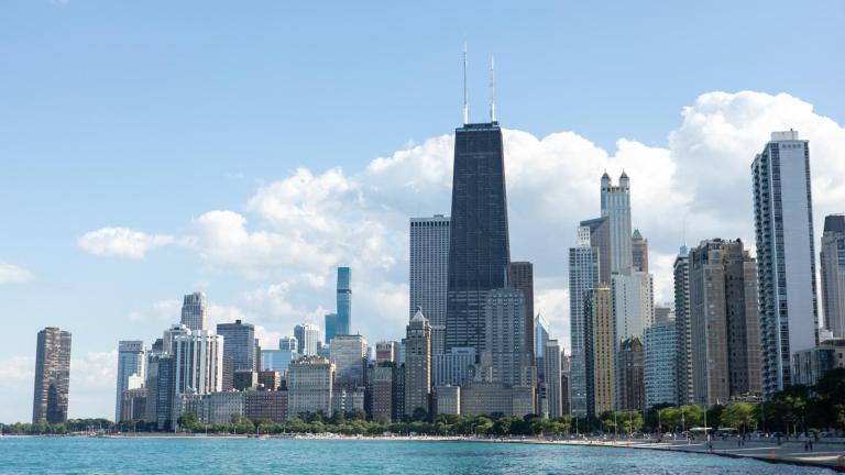
Between the wind, the cold and the sun disappearing for what seems like months at a time, winter in Chicago is not for the faint of heart.
But it could be worse. We could live in one of the snowiest cities in the U.S. Looking at that list, there’s a pattern.
They’re all on the “wrong” side of a Great Lake. And by “wrong” side, we mean the side most likely to get socked with lake effect snow.
Oh yeah, the lake effect snow machine is real. It’s unpredictable and capable of dumping tons of snow in a short amount of time.
And just because we’re on the “right” side of the lake, doesn’t mean we’re safe. When the wind turns on Chicago — watch out.
So what causes lake effect snow? Two things: cold air and comparatively warmer water.
Here’s how it works: During a typical Midwestern winter, cold winds swoop in from the north, which, not to point fingers, usually means Canada.
The Great Lakes hold onto their heat longer than the surrounding land, so when this cold air passes over the warmer water, it soaks up moisture like a sponge.
Depending on which way the wind is blowing, it might cross a lot of water. And the more water it travels over, the more moisture it picks up.
When this wet, warm air mass hits land and starts to cool again — WHAM-O! — lake effect snow.
The weirdest thing about lake effect snow is how it can fall fast and furious in one place, while the sun is shining just a mile or two away.
That’s because unlike large weather systems, lake effect events tend to be hyperlocal.
So what keeps Chicago from being Buffalo?
Well, here, wind patterns typically flow west to east, pushing that wet, warm air toward Indiana and Michigan – sorry … not sorry.
But when the winds switch? That’s when the city gets a taste of the snowpocalypse.
Chicago winter: It could be worse … and sometimes it is. Thanks, lake effect snow!

