Science & Nature
Upcoming El Nino Brings Chance of Warm, Dry Winter Following Summer of Extreme Weather
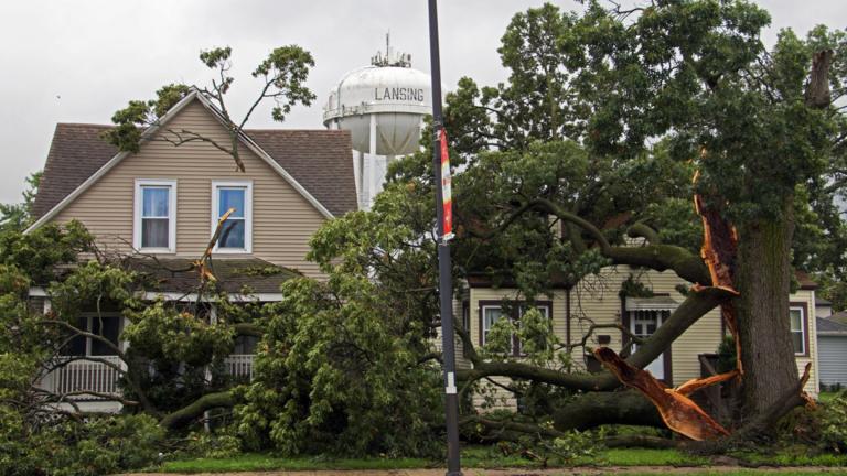
Between tornadoes, wildfire smoke, flooding and heat, the weather in Chicago this summer has been nothing short of extreme.
But winter is coming. And if you want to look ahead at what’s in store for Chicago, you could start by looking thousands of miles away, at the band of warm water extending across into the Pacific Ocean from South America.
These warm waters are indicative of El Nino, a seasonal weather pattern that affects conditions around the globe. This year, meteorologists are predicting a “very strong” El Nino to last from the winter into the spring.
El Nino itself doesn’t guarantee any specific weather events. Instead, it shifts the odds to favor certain outcomes. These could range from more snow in the southwestern United States to exacerbated droughts in other parts of the world.
In Chicago, “the dice will be loaded for a warmer and drier winter than normal,” said Scott Collis, an atmospheric scientist at Argonne National Laboratory.
The impacts of El Nino are the results of a complicated domino effect that includes warmer waters in the Pacific Ocean, weakened trade winds blowing around the equator and more moisture rising into the atmosphere.
For scientists, understanding how El Nino works starts with measuring it.
The National Oceanic and Atmospheric Administration, or NOAA, operates a network of buoys across the Pacific Ocean. Unlike satellites, which can only measure ocean temperatures near the surface, buoys can measure changes hundreds of meters down.
Trade winds, blowing along the equator from east to west, typically push warm water out toward Asia. But when those winds ease up, that water gathers in a band off the coast of Ecuador.
During El Nino, “there’s a big change in temperatures from the equator to the mid-latitudes,” Collis said. “Storm systems like to run along those changes in temperatures, where the jet stream likes to sit.”
While the term “super El Nino” has caught on to describe the upcoming pattern, Collis cautioned that it’s not a meteorological term. But forecasts are predicting the water temperature difference along the equator to be historically strong.
The latest NOAA forecast predicts a more than 80% chance the temperature difference along the equator will be greater than 2 degrees Celsius, the strongest category.
As for what exact weather this portends, drawing a line between what’s happening in the ocean at a given time to what rain and snow may or may not form in the atmosphere is a challenge.
“It’s still state-of-the-art, running one of these weather simulations where we can actually join the ocean and atmosphere together and have them talk to each other,” Collis said. “There’s more energy moved in the first 10 meters of the ocean than in the entire atmosphere.”
But historical data can give forecasters a clue. Simply comparing weather trends with past El Ninos can show what might be likely to happen in different regions.
“The reason why we use things like El Ninos to do these seasonal predictions is that the oceans change slower than the atmosphere,” Collis said.
In other words, “they can give us an idea of how the dice have been loaded,” Collis said.