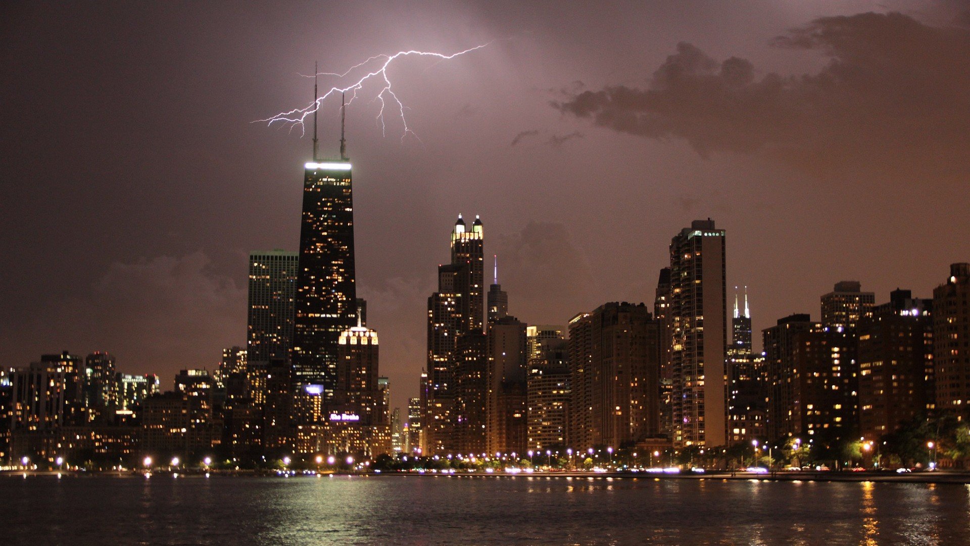
") A file photo depicts lightning across the Chicago skyline. (S_UM_A / Pixabay)
A file photo depicts lightning across the Chicago skyline. (S_UM_A / Pixabay)
The National Weather Service has issued a tornado watch for the Chicago region, much of northern Illinois and parts of northeast Indiana, through 10 p.m. Tuesday.
With a storm front fast approaching, the weather service is warning of hail the size of apples, scattered wind gusts up to 70 miles per hour and the possibility for one or two tornadoes to form.
") (National Weather Service)
(National Weather Service)
The strong cold front will also bring thunderstorms and rapidly plunging temperatures, as well as the potential for snow showers into Wednesday morning. Wind chills will dip into the single digits overnight, with temperatures feeling some 70 degrees colder than Tuesday’s summer-like weather.
Though February tornadoes are rare in Illinois, the last ones touched down just one year ago. Prior to that, February tornadoes were recorded in 2017 — during another uncommonly warm month — and in 2006.
What’s the difference between a tornado watch and a warning?
A watch means weather conditions favor thunderstorms capable of producing tornadoes. A warning means a tornado has been sighted or indicated by radar, and danger is imminent.
In the event of a warning, the weather service advises people to move to an interior room on the lowest floor of a sturdy building, and avoid windows. If in a mobile home, a vehicle or outdoors, move to the closest substantial shelter and protect yourself from flying debris.
Contact Patty Wetli: @pattywetli | (773) 509-5623 | [email protected]
")
")
")
")
")
